


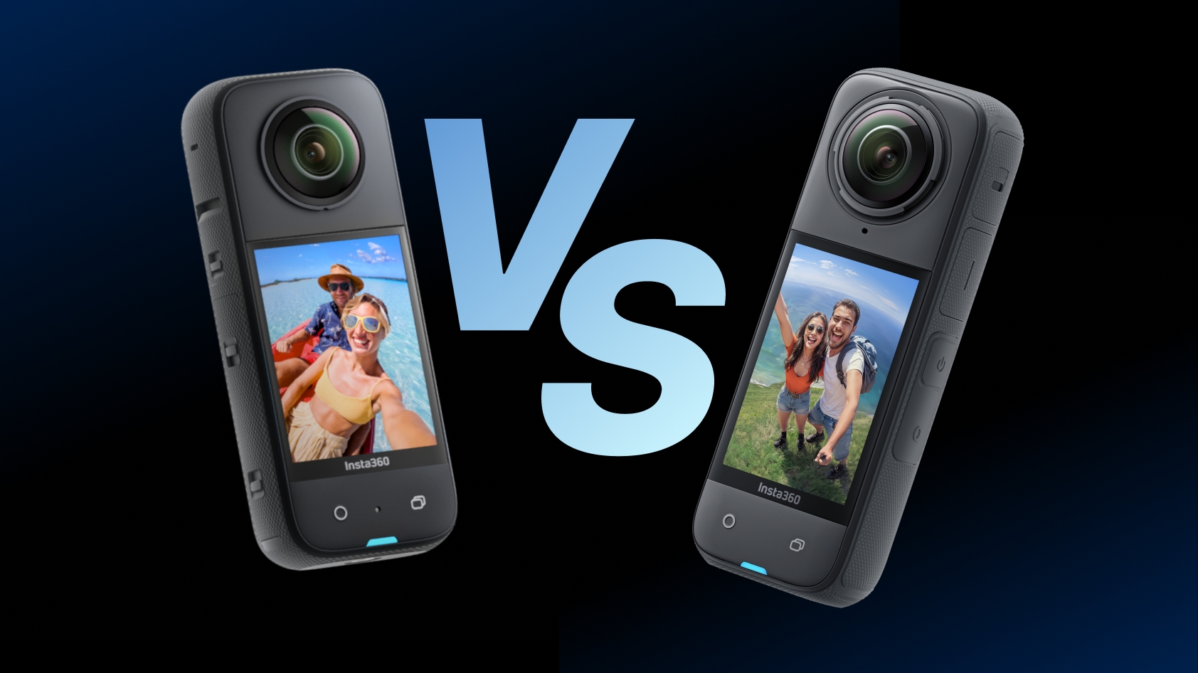
 Product Comparison


Tips
View All
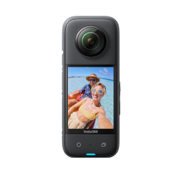
.jpg)
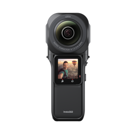
.jpg)
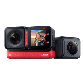
.jpg)
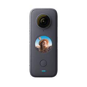
.jpg)

News
View All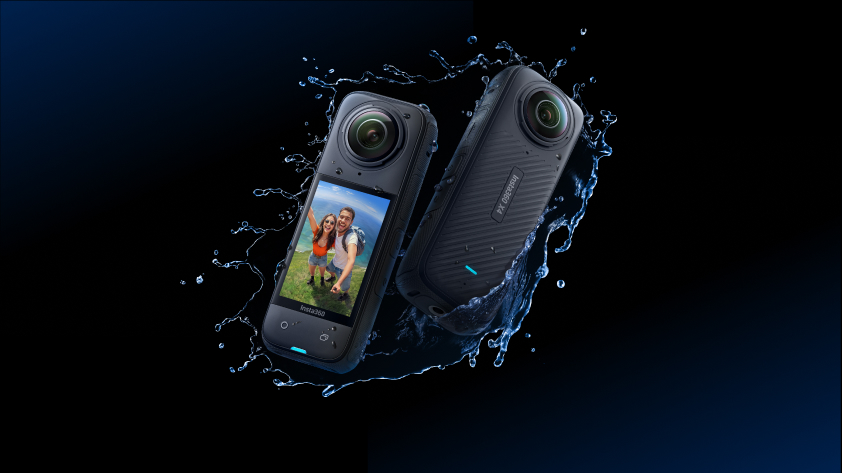 Meet Insta360 X4: Delivering 8K 360 for Unmatched Creative Possibility
Apr 16, 2024Product Announcements
 Insta360 Exclusive Event: Bring in the 8K Era, Live in NYC with Billy Perry
Apr 15, 2024Product Announcements
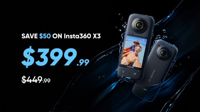 Insta360 X3: $50 Price Drop for World's Best-Selling 360 Camera - Starts Today
Apr 09, 2024Product Announcements
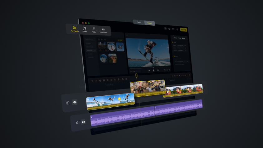 Insta360 Studio Transformed: Major Update Adds Combined Clip Editing, New Media Options & More
Apr 07, 2024Product Announcements
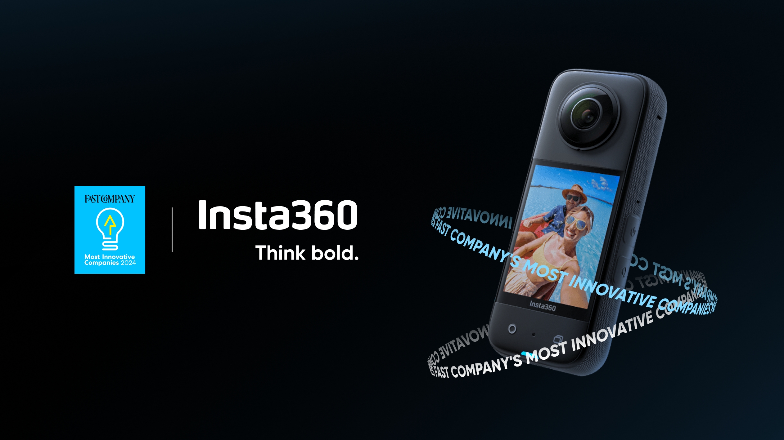 Insta360 Ranks Third on World's Most Innovative Companies List 2024 by Fast Company
Mar 21, 2024Awards & Challenges
Creator Stories
View All


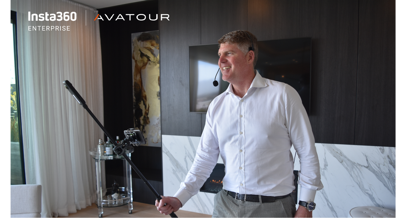
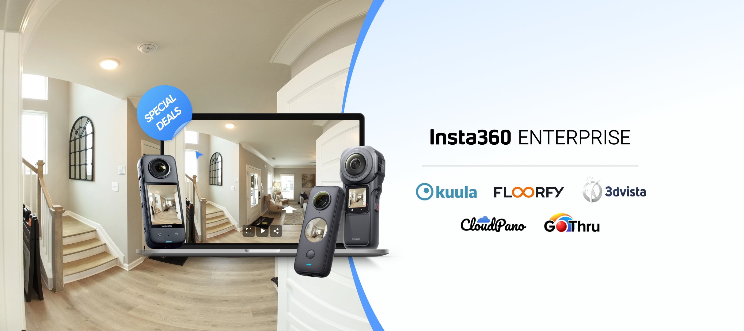
Enterprise
View All

 Strong Point of View: How a Milan-Based VR House Made A Name Immersing Viewers in Luxury
Oct 31, 2023Virtual Tours


%20(1).svg)
%20(1).svg)
.svg)