


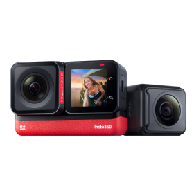
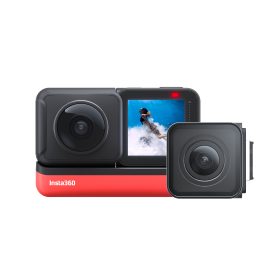
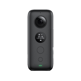
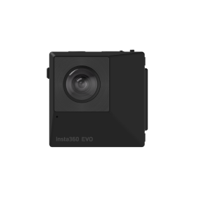

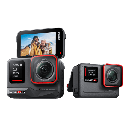

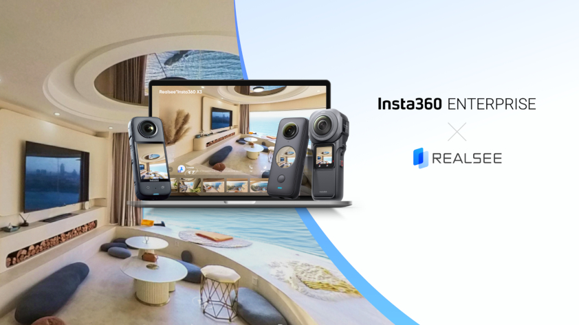
 Product Comparison
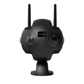


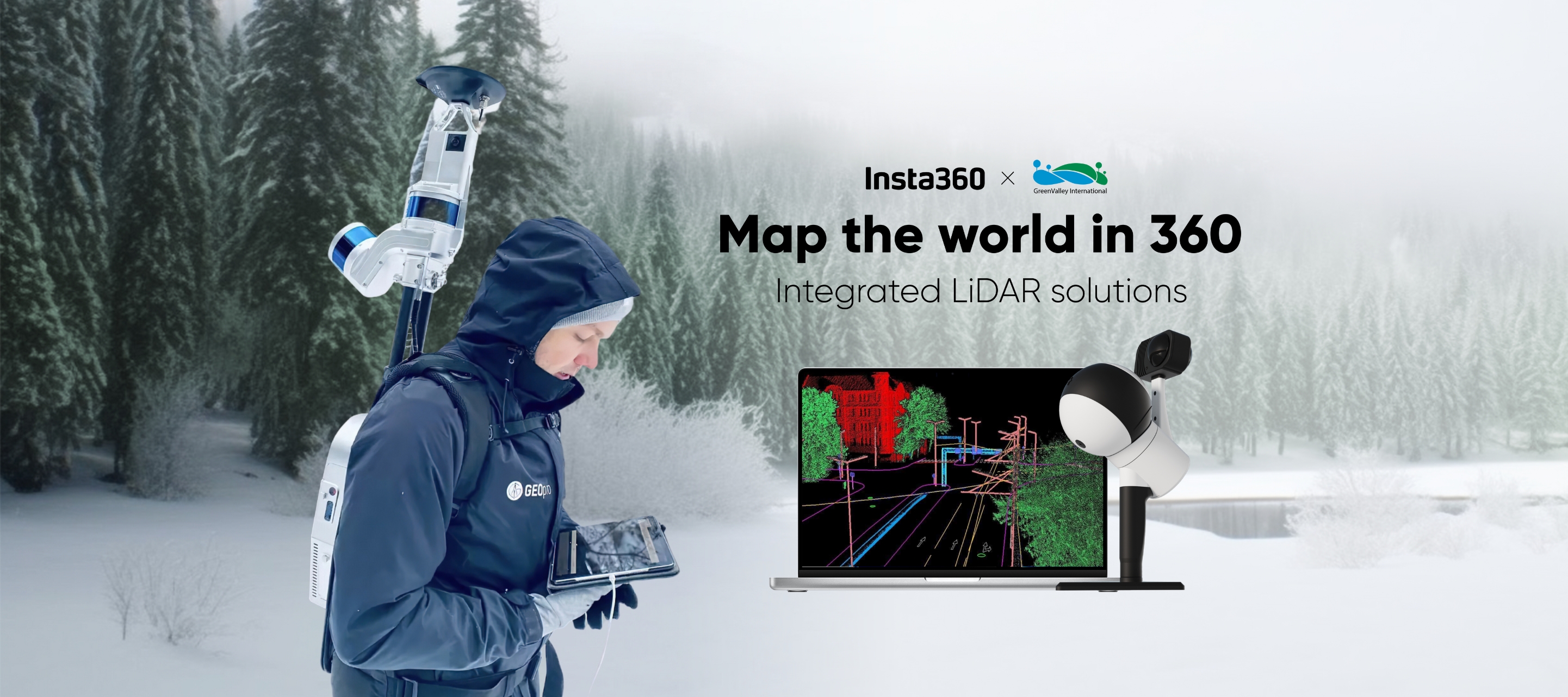


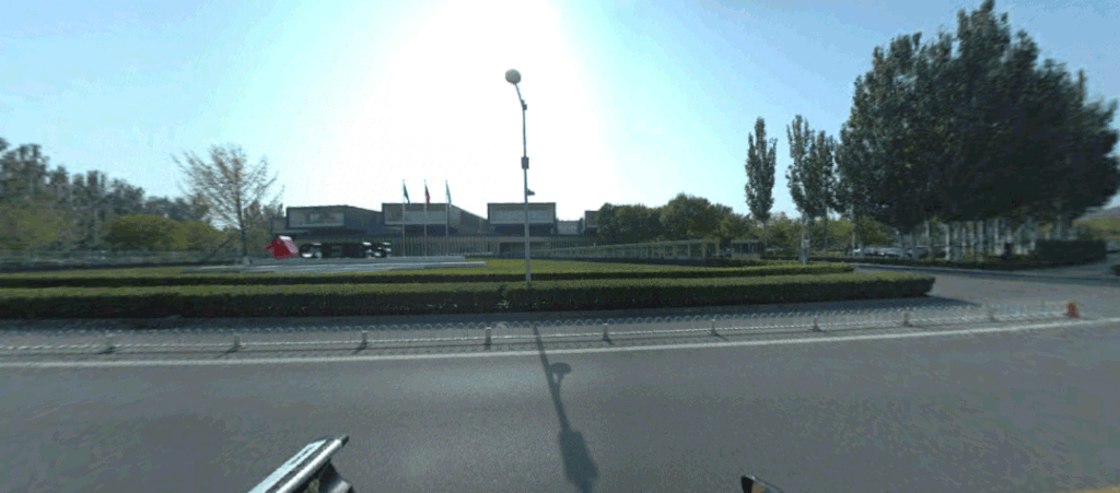
The overlapping of LiDAR point clouds with high-quality 360 images achieves a precise, geo-referenced digital model of environments. GreenValley International integrates Insta360 cameras and leads the way forward for 360 LiDAR mapping solutions.
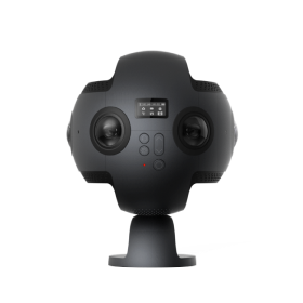
Global LiDAR solutions provider GreenValley International has partnered with Insta360 to offer a comprehensive and cost-effective LiDAR mapping solution. Using high-quality 360 images from Insta360 RS 1-Inch 360, X2 and ONE RS, they have created precise, detailed digital models of environments for the most accurate insights possible.
As the needs of industry mapping continue to evolve, mobile mapping has emerged as a critical technology trend. It has become one of the most advanced methods of geospatial data collection in recent years. Integrating 360 cameras with LiDAR technology provides a highly accurate and efficient solution for mobile mapping.
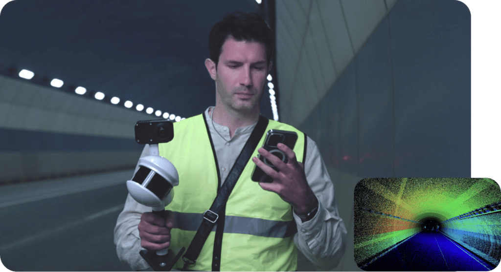
GreenValley International's mobile LiDAR mapping solution is now fully integrated with premium Insta360 cameras for precise, realistic information when recording 3D point cloud data.
What are the benefits of integrating LiDAR with Insta360 cameras?
Insta360 cameras significantly enhance the detail of point cloud data images. GreenValley International focused on developing a quality mobile mapping system with precise GNSS time stamps for photo-realistic images and pinpoint accuracy. Integrating Insta360 cameras was the perfect solution for mobile laser scanning systems. The outcome of this pairing has the benefit of a precise LiDAR-based point cloud and an immersive, true-to-life 360 image. This means precise measurements and evaluation of textures to assist Enterprise clients in making important decisions, almost in real-time.

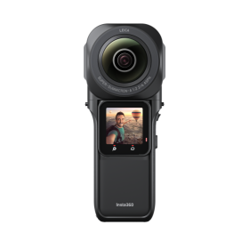
Insta360 RS 1-Inch 360, co-engineered with Leica, captures dynamic 21MP PureShot 360 photos with vivid color and detail. RS 1-Inch 360's lenses can adapt to and provide high-quality images of complex environments, such as underground tunnels and other harsh or low-light areas. In addition to rich color, the camera captures important texture information to improve the point cloud's accuracy and appearance.
Learn more about how RS 1-Inch 360 can enhance your business here.
To make the workflow even more efficient, RS 1-Inch 360 shoots 5.7K 2fps Timelapse videos for a fast walkthrough of any space. Timelapse video files are 40 times smaller than regular files, saving space on the SD card and improving the efficiency of mapping data processing.
What are the main improvements of the Insta360 X GreenValley mapping solution?
The seamless integration of Insta360 cameras with GreenValley International's LiDAR mapping system has led to notable improvements in accuracy, point cloud quality and resolution.
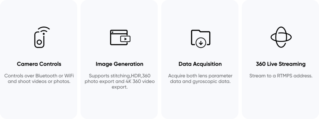
Both image and point cloud data are crucial when creating a precise digital model of environments. Using the Insta360 software development kit (SDK), GreenValley International’s development team could calibrate the spatial position between the sensors. The team then merged the Inertial Measurement Unit (IMU) information with point cloud data from the LiDAR scan for synchronized and accurate data.
The Insta360 SDK also enabled the integration of functions such as camera control, recording and storage, export and stitching into GreenValley's app. This helps to improve efficiency, increase battery life and remove any overheating problems.
The integrated app means a smoother, simpler workflow. Instead of switching between multiple apps, users can view the images and data from Insta360 cameras directly on their smartphones.
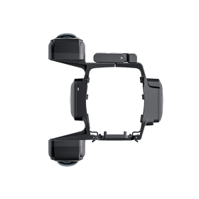
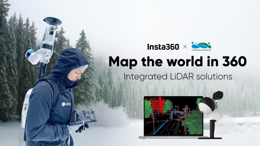
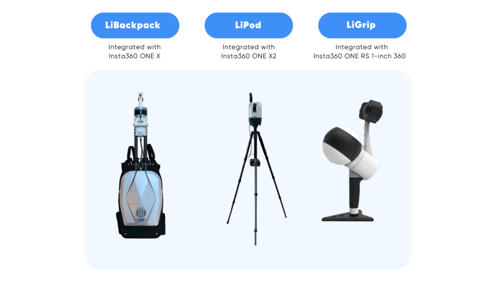
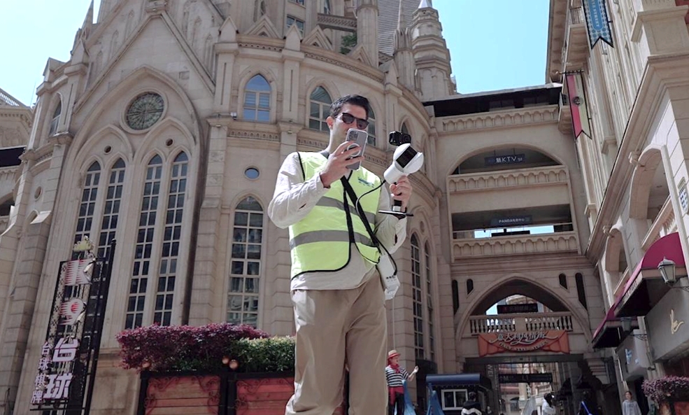
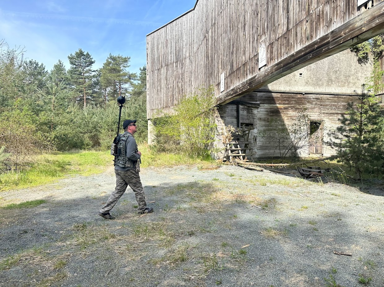
Portability has long been a challenge for LiDAR systems. For convenience, GreenValley International mobile LiDAR scanning systems LiBackpack, LiPod, and LiGrip are all compatible with Insta360 cameras. The lightweight and compact design of Insta360 cameras allows industry professionals to map and capture rich 3D point cloud data in almost any environment.
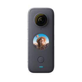
On 26 May 2023, GreenValley International took the LiBackpack LiDAR scanning system fitted with Insta360 ONE X to the Yarlung Tsangpo Nature Reserve to map a clustered area of Tibetan Cypress trees. GreenValley created an accurate 3D point cloud model of the tree population and made a record-breaking discovery. At 102.3m tall, they discovered and mapped the tallest tree in Asia with exceptional precision. The intricate branches of the Tibetan Cypress provide an essential microclimate and habitat for many endangered flora and fauna species. Mobile LiDAR scanning systems are integral to biodiversity research and many other industries.
Who can make use of LiDAR-integrated cameras?
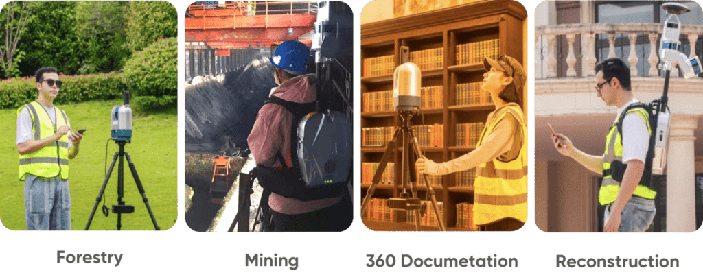
Many industries and sectors use mobile mapping solutions, such as forestry, construction, energy, and mining. Clients use this technology based on their individual needs, but the demand for accurate, feature-rich data is consistent across industries.
Other industries that can benefit from the unprecedented precision and mobility that Insta360 integrated LiDAR solutions provide include mapping professionals, construction businesses, self-driving car companies, landscape and nature protection authorities, and many others.
The increasing quality of achievable LiDAR data combined with the advancements in photogrammetry and post-data processing methods continue to open new doors for several industries.
The future of 360 LiDAR mapping
As mobile mapping continues to evolve, there is a growing trend toward handheld LiDAR solutions. Many industry consumers are now looking for integrated mobile mapping devices for their work. The partnership between GreenValley International and Insta360 demonstrates the power and convenience of these mobile mapping solutions.
By seamlessly integrating Insta360 cameras, GreenValley International provides Enterprise clients with a cost-effective and premium mapping solution. With the Insta360 SDK, other providers can develop LiDAR mapping apps and get ahead of fast-growing handheld and mobile solutions.
Looking for a high-quality 360 camera for your mobile LiDAR mapping? Contact the Insta360 Enterprise team today and see how we can help you.
Keen to keep up to date on Insta360 stories? Keep an eye on our blog and sign up for our mailing list. You can also contact our Enterprise team directly to see how 360 cameras can benefit your business.


%20(1).svg)
%20(1).svg)
.svg)


