


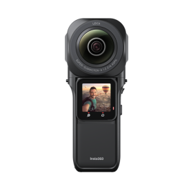
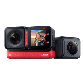

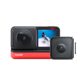


 Product Comparison
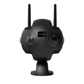


A study in the BRI stated that as of 2018, there were a total of 64,285,009 km of roads recorded in the world. Automotive Market Research calculated that in 2022, there are now an estimated 1.446 billion motor vehicles in use globally.
That's a lot of roads, and a lot of cars. Road maintenance is no small task.
Traditional road maintenance typically involves sending out teams to conduct in-person inspections of roadways. This is time consuming, expensive and bad for the environment. Australian road mapping software company, Fedasen, is here to bring road maintenance into the 21st century.

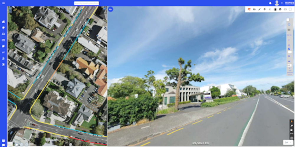
In February this year, Insta360 partnered with Fedasen to launch a panoramic road mapping solution to help Auckland Transport. The solution facilitates the collection of high-precision data on road infrastructure and provides key decision support for road planning improvements and projects.
The industry’s need for a breakthrough road maintenance solution
More and more cities around the world are becoming "smart cities". From road management, business location selection, to solving urban congestion, the importance of obtaining refined and comprehensive geospatial data is greater than ever.
What’s the drawback? High-precision mapping often means time-consuming and labor-intensive work along with high equipment costs.
Traditional road maintenance
3D laser scanners are a common tool in modern surveying and mapping such as NCTech's iSTAR and FLIR's LadyBug. 3D laser scanners are able to collect high-precision data of spaces and objects, but the disadvantages are their high cost and poor image quality.
These downsides can limit the ease of adoption and effectiveness of 3D laser scanners for surveying and mapping.
The breakthrough
As an emerging means of obtaining geospatial information, 360 cameras are not only easy to use and maintain, but are also less restricted by natural and topographical conditions.
The key advantages of 360 cameras are their high image quality, low cost and increased flexibility.
This has led 360 cameras to become a brand-new, game-changing solution in the surveying and mapping industry. Thanks to their lightweight and mountable design, Fedasen identified them as the ideal tool for comprehensive and efficient road mapping.
How Fedasen uses 360 cameras for road mapping
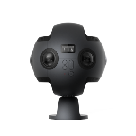
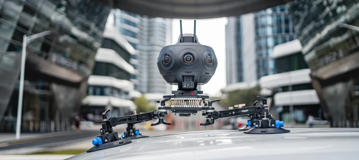
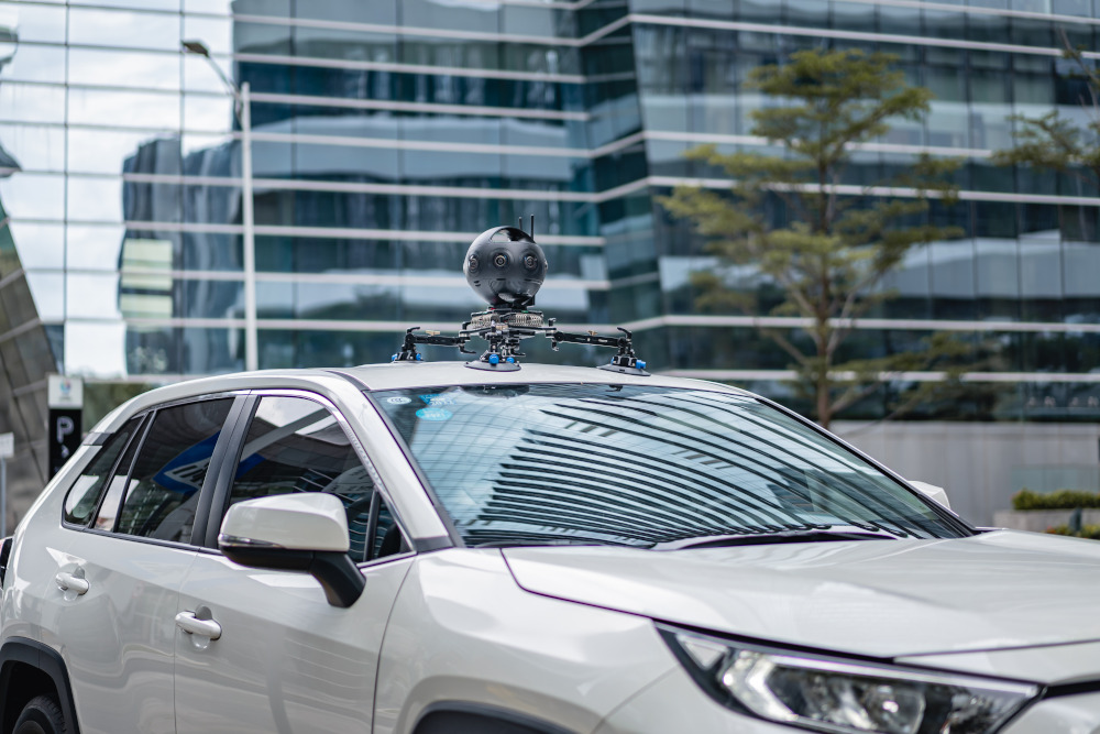
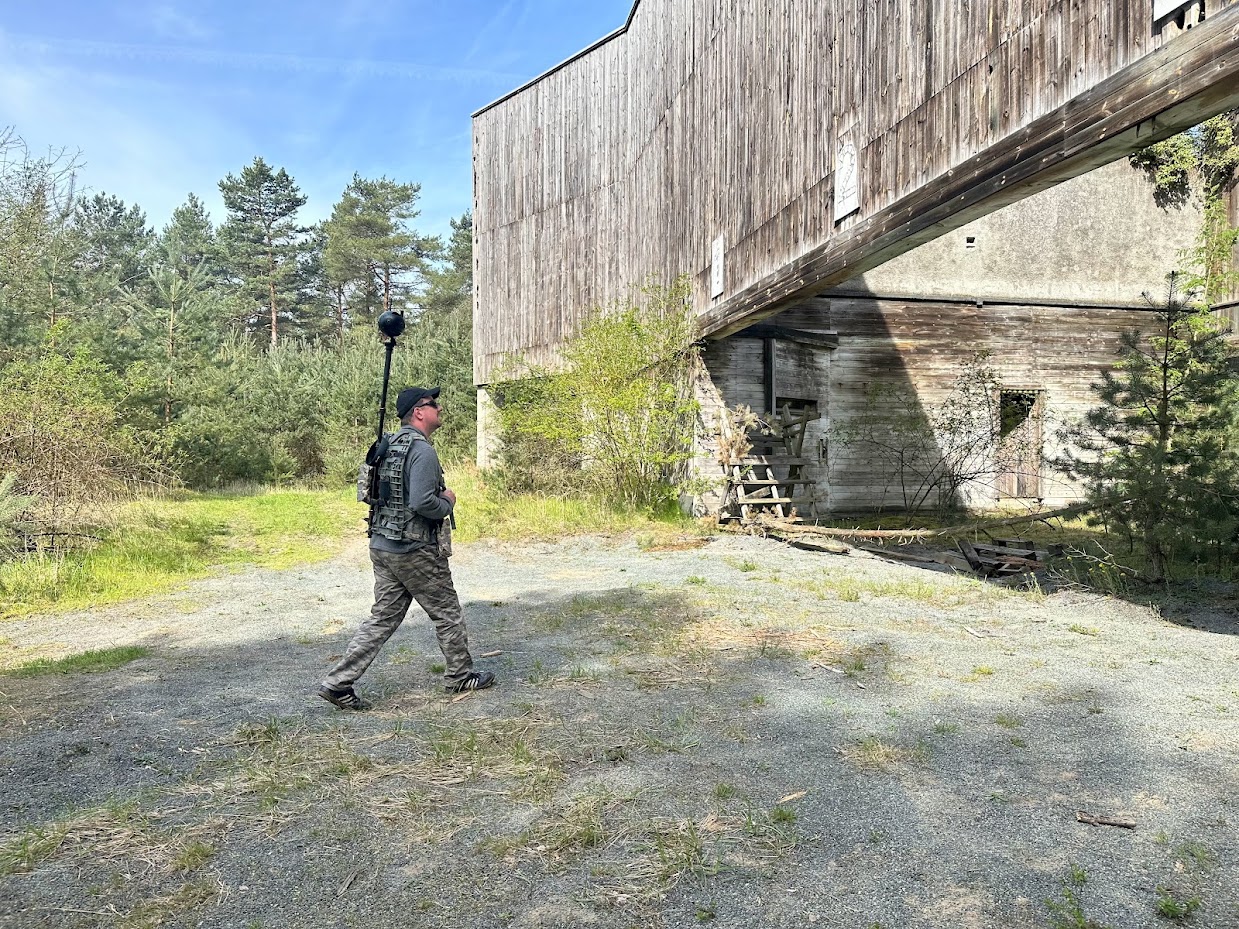
In a recent project in Auckland, New Zealand, Fedasen adopted the professional-grade Insta360 Titan 360 camera. Fedasen used AI and Machine Learning techniques, combined with computer vision and geospatial technologies to carry out 3D reconstruction, bringing revolutionary efficiency improvements to the surveying and mapping curbside data collection process.
Auckland Transport used the images and spatial data collected to identify curbside space allocation across roads. The GIS dataset is now available for mapping out the parking conditions in the Aukland region.
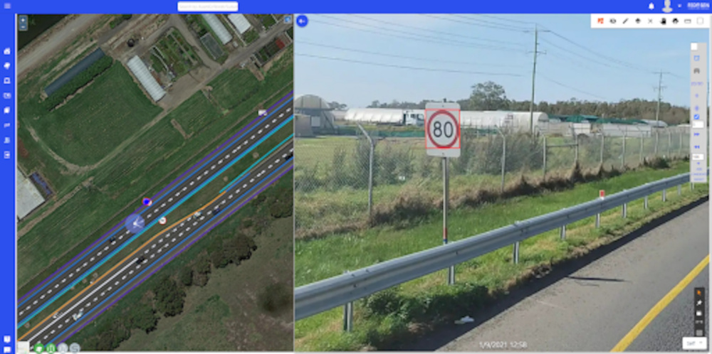
In addition, Fedasen implements projects in Australia focused on pavement defects, potholes and surface distress on the road. Service personnel then use the data to repair the damage quickly before it turns hazardous.
This saves considerable maintenance costs and helps to keep roads operational and most importantly, safe for the public.
Why Fedasen chose Insta360 Titan for road mapping
The Insta360 Titan camera has 8x Micro Four Thirds Sensors, which allow for ultra-high image quality capture, excellent low-light performance, less noise and a cleaner picture. This ensures that even when shooting at night, the details of Auckland's road surfaces can be fully mapped.

Titan has a built-in GPS module and can be mounted directly on the roof of a car. Titan captures real-time video containing geolocation data at 11K ultra-high resolution as the vehicle moves. The camera enables fully automated data collection of Auckland's road assets including pavement markings, road hazards, defects and condition assessments.
This enables Auckland Transport to capture high-definition road image data with an accuracy rate of 98%, providing invaluable decision making support.
The 360 degree, 3D panoramic imagery captures every corner that the vehicle passes by and clears all blind spots. Service personnel no longer need to return to the site of interest for multiple inspections, which greatly reduces the workload and saves project time and cost.
Key benefits of road mapping with Insta360 Titan:
- 11K ultra-high-definition image quality to meet the needs of high-precision surveying and mapping
- Simple operation, easy integration, with no need for cumbersome and complicated server equipment and wiring
- Built-in GPS module that facilitates real-time capture of position and altitude data
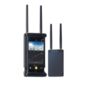
- Insta360’s software development kit (SDK), which can be used to control the camera with your own app
- Comes with Farsight Live Monitoring to give personnel a high-resolution preview in real time

The impact of Fedasen’s panoramic road mapping solution so far
With this game-changing solution with Titan at the heart, Fedasen not only provides data, but also helps Auckland Transport take steps towards creating an entire open data ecosystem.
Auckland Transport's Parking Services and Compliance Manager John Strawbridge said: "Thanks to this solution, staff can collect data efficiently and accurately without manual entry and double checks. This also means that we don't need traffic control ahead of time."
“As the vehicle collects information on the go, the data is updated in real-time,” said Fedasen COO Amir Hatami. The project has helped create a dataset of road network characteristics and street furniture in Auckland, and its mapping accuracy has reached an unprecedented level.
Insta360 continue to empower the surveying and mapping industry
This isn't the first time Insta360 has made a big splash in the field of road maintenance. As early as 2019, Insta360's professional-grade camera, Pro 2, played an important role in the country-wide maintenance project of Finland's national highways. The project resulted in huge timesaving and reduction in labor costs for the Finnish government.
Through adopting 360 cameras, it is clear that the road planning, surveying and mapping industry has entered a new era. Insta360's series of efficient and easy-to-use products have proven to be an indispensable new technological force in this space.
Insta360 remains committed to working closely with partners, to innovate more products, and to drive reform and development in the road surveying and mapping industry.
Keen to keep up to date on Insta360 stories? Keep an eye on our blog and sign up for our mailing list. You can also contact our Enterprise team directly to see how 360 cameras can benefit your business.


%20(1).svg)
%20(1).svg)
.svg)