
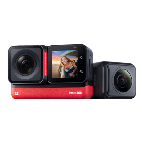


 Product Comparison
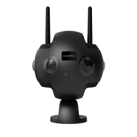


It's not a bad gig - cruising around tropical islands for a living. That’s what C.A. Clark, Vice President, Digital Marketing, for destination marketing agency Miles Partnership, found himself doing earlier this year, when the agency partnered with the Bermuda Tourism Authority (BTA) to capture the entire island of Bermuda in 360 degrees and upload the results to Google Maps Street View.
Miles Partnership, founded over 60 years ago, caters to clients like the BTA. These clients, known in the industry as destination marketing organizations (DMO's), are publicly funded organizations tasked with spurring their local tourism industries.

Ever since Google opened up its 360-degree Google Maps Street View to outside contributors, savvy agencies have picked up 360 cameras as tools to promote and brand destinations on a platform that reaches hundreds of millions.
We talked with C.A. Clark to learn about this freshly discovered niche in destination marketing, and to find out how, in mere months, Miles and BTA have racked up over 4.3 million views on Google Maps Street View.
Miles Partnership has been in the industry of destination marketing for a long time. Could you tell us about your business? What is a “destination marketing organization” and how does Miles Partnership help them?
Miles Partnership is a marketing company that works exclusively with travel and tourism businesses. We’ve been around for more than 60 years; the company started in a garage when a hotel concierge started printing up simple flyers to tell travellers where to go and what to do when they were visiting. Destination Marketing Organizations (DMO's) are typically tax-funded entities and are tasked with marketing a particular place – a region, city, state or country – to travelers. Today we’re still helping travelers decide where to go and what to do working directly with DMO's around the world, though the flyers have obviously been replaced with a much more complex landscape of digital marketing.
Does Google Street View play an important role in this industry? Do you think it's a profitable area for photographers and why?
We tend to think about maps as being a wayfinding tool — “How do I get from where I am to a restaurant or attraction?" The use of maps is increasingly about exploring a destination before you make a decision to go there. There is no better tool to help that process than Google’s Street View platform.
"The use of maps is increasingly about exploring a destination before you make a decision to go there."
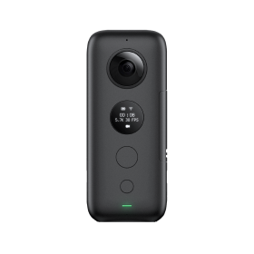
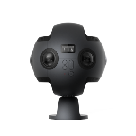
Up until last fall, 99 percent of DMO's didn’t have a role on that platform, because the only way Street View imagery could be created was through Google. Now, with equipment like the Insta360 Pro, DMO's can have a tremendous amount of influence over how their destination is presented. The DMO can capture up-to-date Street View images and post them directly to Google Maps at any time. However, just like using any camera, there’s a difference between having the ability to capture 360 images and achieving the quality of imagery that best represents the destination. That’s where 360 photographers come in - adding 360 photospheres, virtual tours and Street View to their toolboxes to help destinations tell their stories and bring in more visitors.
Could you tell us a bit about your project in Bermuda? What results did you achieve in the end?
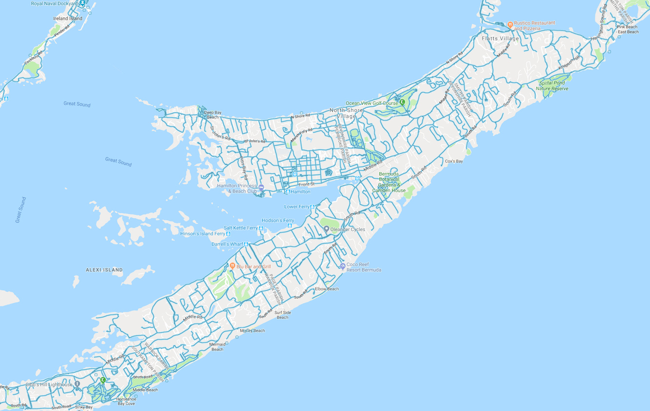
Shooting the island of Bermuda was a really fun and intensive process. We were lucky to be able to work with the Bermuda Tourism Authority (BTA) on this project. They were enthusiastic about being the first national DMO to capture Street View of their entire country. Being the first carries with it a lot of unknowns, but the BTA were amazing partners. Driving around the island from sunrise to sunset for seven days, it really struck me how beautifully maintained the whole island is. The views are amazing all over the island — the turquoise blue water and pink sand look like they’re Photoshopped, but they’re quite real!
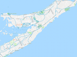

After we post-processed all 592 GB of footage, we ended up uploading 366,137 separate 360 images to the Street View platform. They have generated over 4,300,000 views since June. You can now explore just about every street on the island of Bermuda through Street View, including some of the famous landmarks like the Unfinished Church in St. Georges, Front Street in downtown Hamilton, Blackwatch Pass and Flatts Village.
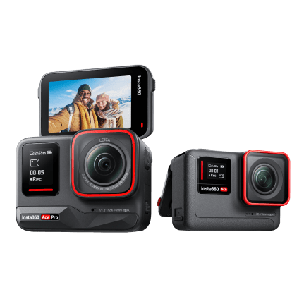
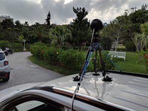
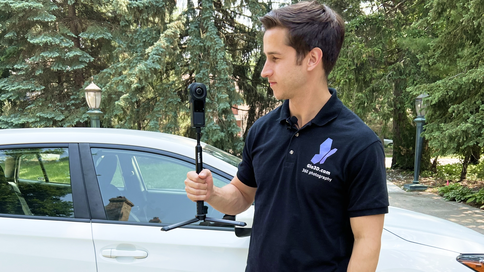
Why did you choose to use Insta360 Pro for Google Street View? How did it perform during the trip?
Our Pro performed really well on the shoot — despite long days of hot sun and salty ocean air. For this project, we used the 5 FPS mode to capture about 290 Street View driving segments of about 10 - 20 minutes each. The built-in “Stitching Box” mode on the camera hardware is really handy. The Pro has a whole range of capabilities that make it a great option for DMO's looking to invest in 360 content. The Pro offers 30 FPS video, 120 FPS slow motion, stereoscopic VR, live broadcasting as well as individual 8K 360 photospheres. One of my favorite things about the Pro for DMO's is the ability to add a nadir logo automatically to individual photospheres to get a little extra branding and recognition in the Street View platform.
Could you give some tips for any new Google Street View photographers?
1 - It helps to have someone along who really knows the destination. You need to plan out routes in advance to make things as efficient as possible and keep track of which roads you’ve already shot. It’s easy to lose track after a day or two. We found that using the direct network connection to the camera gave us the best results.
2 - Be sure to have a 12v to 110v inverter in the car to keep continuous power to the Pro and your laptop while you drive. Back up your data frequently - we kept two copies of every video segment at all times, just in case. It’s much easier than trying to go back later and shoot a segment that accidentally got deleted or damaged.
3 - Clean the lenses every time you stop - it’s not a good situation to realize you had a smudge or a raindrop on one of the lenses days later.
4 - Keep an eye on your exposure settings as you drive. As the weather conditions change, it’s sometimes worthwhile to make small adjustments to optimize your resulting footage.
I’d like to say a special thanks to Bermuda Tourism Authority for being a great partner on this project, to Google’s User-Generated Street View team for their support getting everything processed and uploaded, and finally to Insta360 for building a great piece of equipment to capture this exciting content! Looking forward to my next adventure in 360 photography.
Keen to keep up to date on Insta360 stories? Keep an eye on our blog and sign up for our mailing list. You can also contact our Enterprise team directly to see how 360 cameras can benefit your business.


%20(1).svg)
%20(1).svg)
.svg)